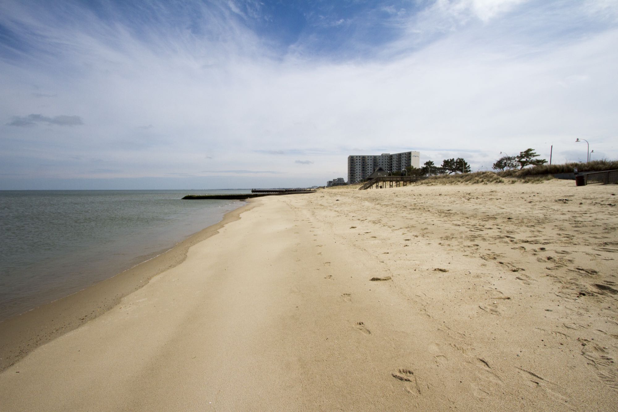
The Willoughby Spit shoreline, looking toward East Ocean View.
Photo: Patrick Bloodgood / U.S. Army Corps of Engineers, Norfolk District, U.S. Army Corps of Engineers — Public domain — verified 2026-08-24
Norfolk
Willoughby Spit shoreline
- Chesapeake Bay
- Willoughby Spit
- Shoreline
Narrow Bay-front spit near major structure — walkable shoreline with surprising depth close to the beach.
- Parking
- limited
- Restrooms
- None on site
- Fee or permit
- Not typically
- Night access
- varies
Overview
Deep water and heavy current sit close to shore here, which is unusual for a walkable beach. Structure and light lines nearby make this a notable cool-season shore option.
Getting there
Street-side public access with limited parking. Respect private property lines and posted restrictions.
Park legally on public streets or in designated lots only. Access points are narrow — do not block driveways.
Verify current access, hours, fees, closures, and regulations with official sources before you go.
Parking & amenities
- Nearby stores and restaurants
- Limited street parking
No dedicated accessible facilities; sand access from street level.
Reading the water
Tide stage for this kind of water
Rising water on the shallow flats
From: Reading tides without overthinking themExposure
Exposed to Bay wind and current; can be rough in a strong northerly.
Wind against tide, and when to turn aroundToday here
The full instrument and the week ahead- Acquiring NOAA tide predictions, station 8638610
- Requesting the NWS hourly forecast
- Computing sunrise, sunset, and civil twilight
Safety considerations
Noted for this spot
- Strong tidal current close to shore
- Low light and traffic near roadways — wear reflective clothing at night
- Avoid restricted areas near federal property
General to shoreline and beach access
- Riprap and oyster shell are sharp, slick, and uneven; wear footwear with grip and keep hands out of the shell. Casting safely
- Boat and ship wake arrives without warning on the rivers and the Bay front — stand back from the edge when traffic passes. Kayak and boating safety basics
- Rip currents form in the cuts between sandbars — fish the edges from the sand and never wade past knee depth in surf. Reading the surf
- No shade, glare off the water, and summer heat; dawn and dusk are cooler and usually better anyway. Heat, hydration, and sun protection
- A heavy sinker on a hard cast is a projectile; use a shock leader and clear the beach behind you. Surf rig
Species documented here
All species in Norfolk


Other water nearby
Similar spots in this part of the coast
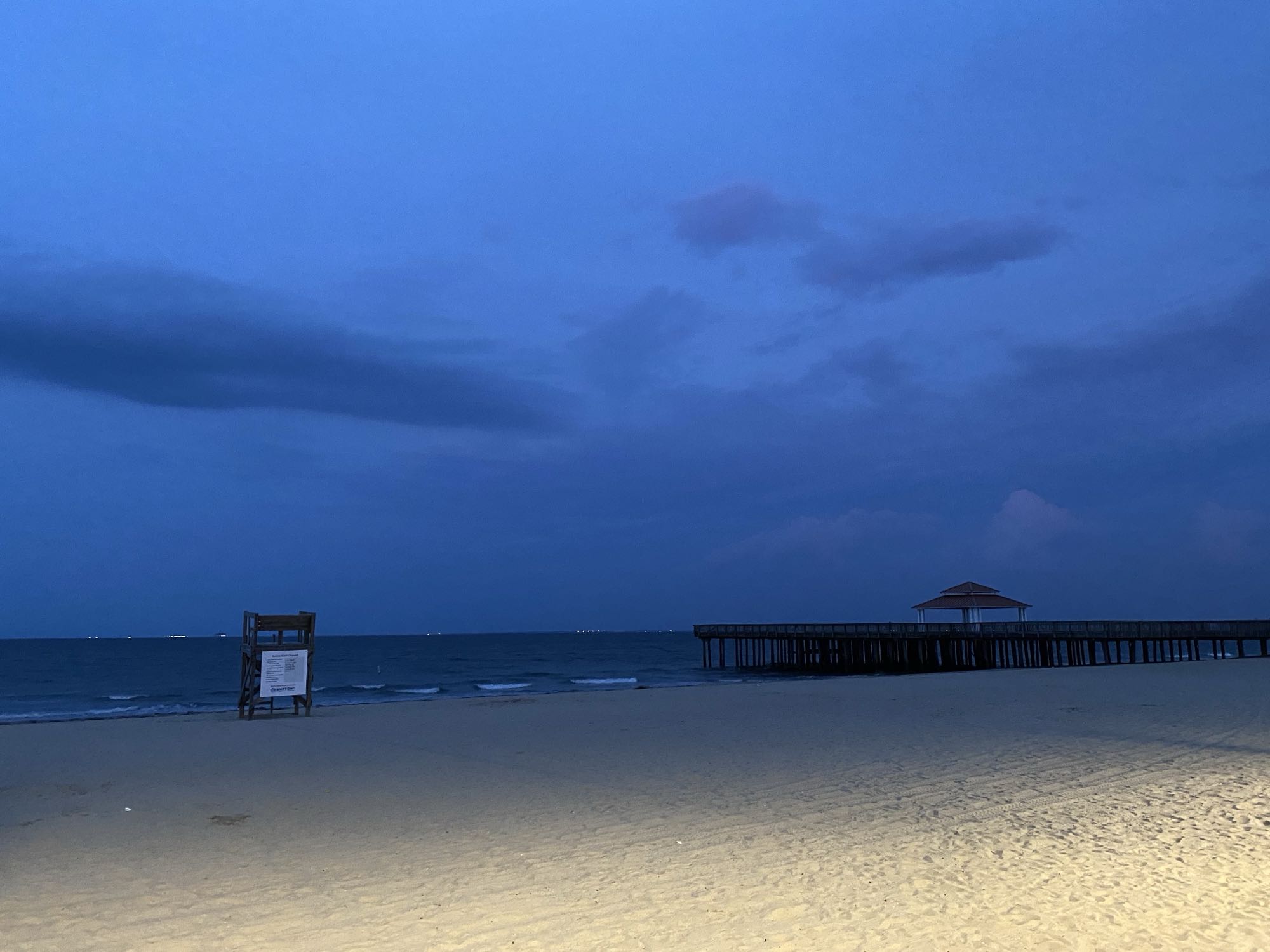
Photo Fuzheado, CC BY-SA 3.0
Fishing pierBeachBuckroe Beach & pier area
Bay-front pier and beach park — the most family-friendly introduction to Chesapeake fishing in Hampton.
6 speciesFamily-friendlyAccessible featuresRestrooms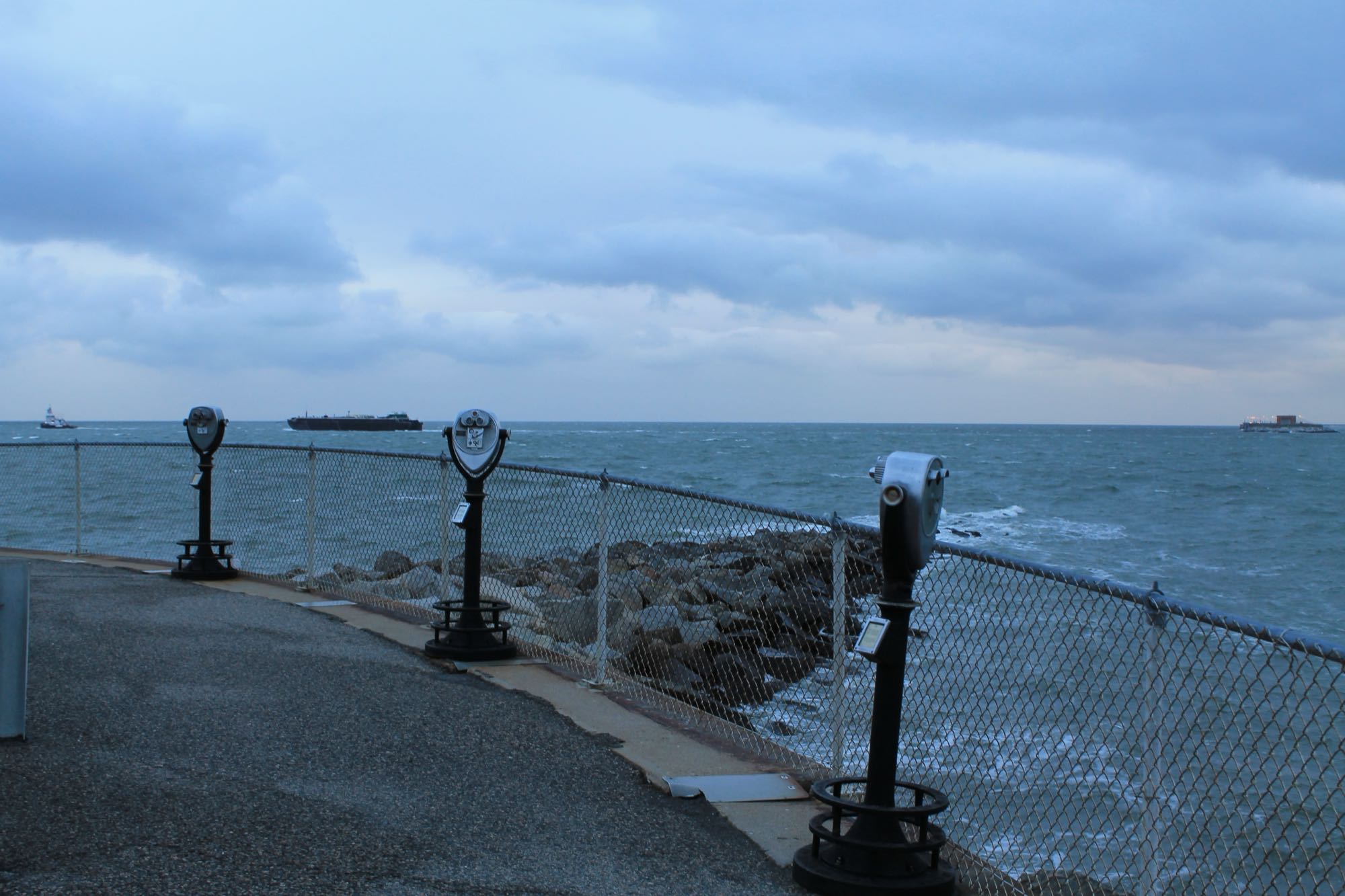
Photo Patrick Nouhailler, CC BY-SA 2.0 (representative)
Boat rampBay-mouth bridge structure (boat)
Miles of pilings, rubble, and channel edges at the Bay mouth — the region's premier structure fishery, boat access only.
6 species
Photo Antony-22, CC BY-SA 4.0 (representative)
ShorelineKayak launchElizabeth River — Downtown Norfolk
Urban stripers around the piers and bridge pilings, best on the spring and fall runs.
2 speciesAccessible features


