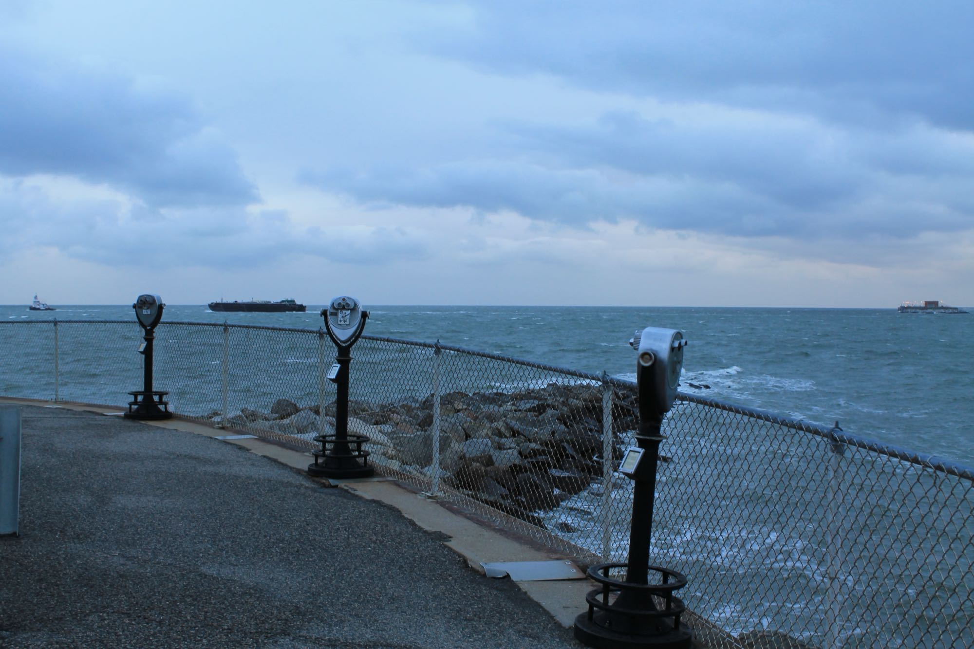
The Bay-mouth area at the Chesapeake Bay Bridge-Tunnel's South Thimble Island stop — representative of the structure fishery, not the exact pilings anglers fish.
Photo: Patrick Nouhailler — CC BY-SA 2.0 — verified 2026-08-24
Representative photo of the general area — not a documentary photo of this exact spot.
Virginia Beach
Bay-mouth bridge structure (boat)
- Chesapeake Bay
- Bay-mouth bridge structure
- Boat ramp
Miles of pilings, rubble, and channel edges at the Bay mouth — the region's premier structure fishery, boat access only.
- Parking
- paid
- Restrooms
- None on site
- Fee or permit
- Likely
- Night access
- varies
Overview
Vertical structure in moving water creates a full column of fishing opportunity. Species change with season and depth, and the same piling can hold different fish at different tides.
Getting there
Reached by boat from public ramps. Restricted zones exist around the structure; confirm current rules and closures before running out.
Launch from a public ramp and plan for a long run in open water. Check marine forecast, tide, and any posted security or navigation restrictions.
Verify current access, hours, fees, closures, and regulations with official sources before you go.
Parking & amenities
- Public ramps with paid parking (varies by ramp)
Boat-based fishing; accessibility depends entirely on the vessel and ramp used.
Reading the water
Tide stage for this kind of water
Rising water on the shallow flats
From: Reading tides without overthinking themExposure
Fully exposed open water with strong tidal current. Not a beginner destination in wind.
Wind against tide, and when to turn aroundToday here
The full instrument and the week ahead- Acquiring NOAA tide predictions, station 8638901
- Requesting the NWS hourly forecast
- Computing sunrise, sunset, and civil twilight
Safety considerations
Noted for this spot
- Open Bay conditions can deteriorate quickly — check the marine forecast
- Heavy commercial shipping traffic; monitor VHF
- File a float plan and carry required Coast Guard safety equipment
General to boat ramp access
- Required safety equipment depends on vessel type and length; confirm with the U.S. Coast Guard, file a float plan, and check the marine forecast. Kayak and boating safety basics
- Wind against tide stacks up short, steep chop in the channels and at the inlets — far worse than the wind number alone suggests. Weather awareness for coastal anglers
Species documented here
All species in Virginia Beach


Other water nearby
Similar spots in this part of the coast
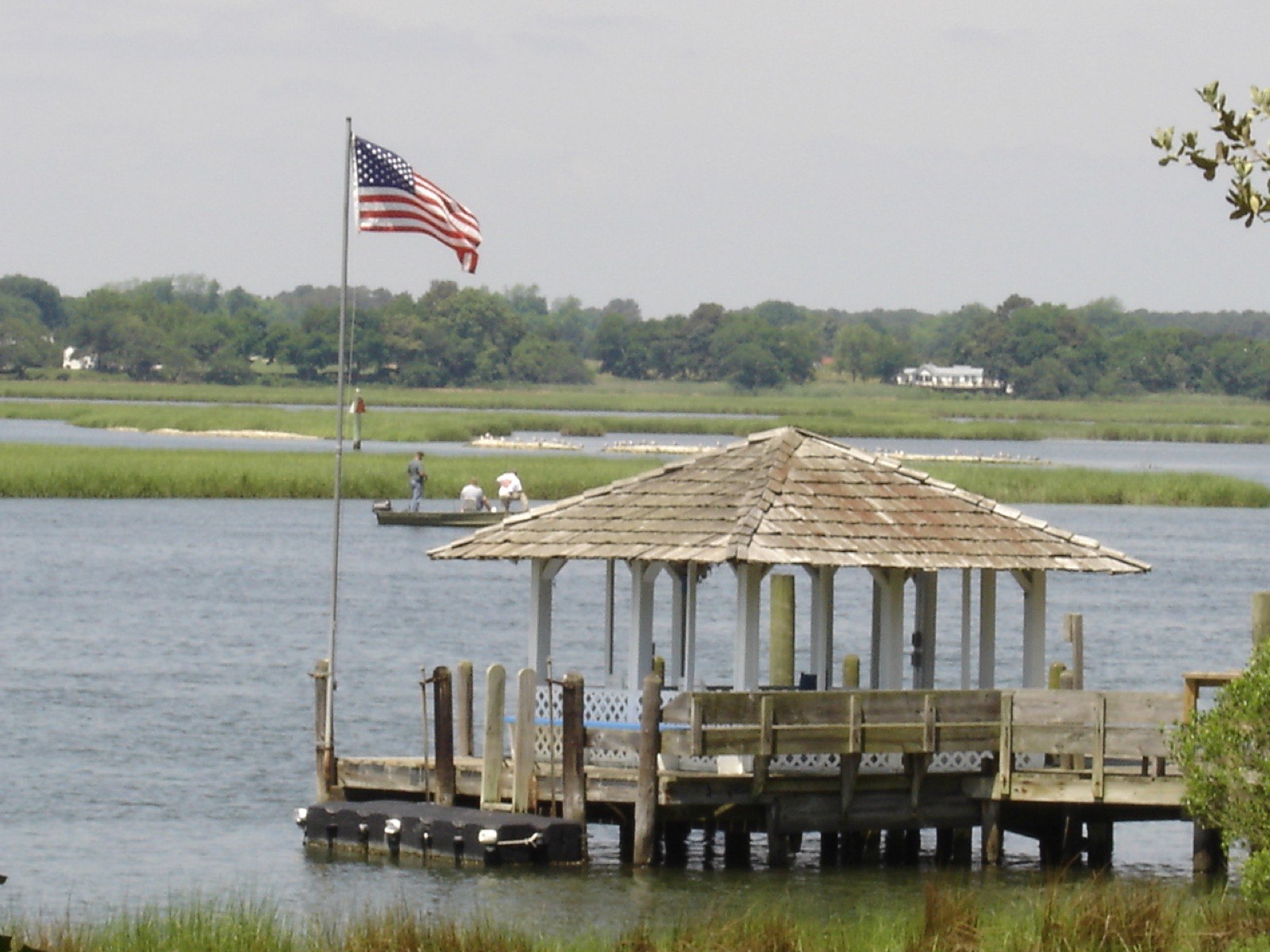
Photo BrandlandUSA, Public domain (representative)
ShorelineKayak launchLynnhaven Inlet — Boat Ramp & Beach Facility
The historic Lynnhaven Fishing Pier closed in 2017 and was sold — today's public access is the city's Lynnhaven Boat Ramp & Beach Facility, plus some bank fishing along the beach and riprap.
3 speciesAccessible features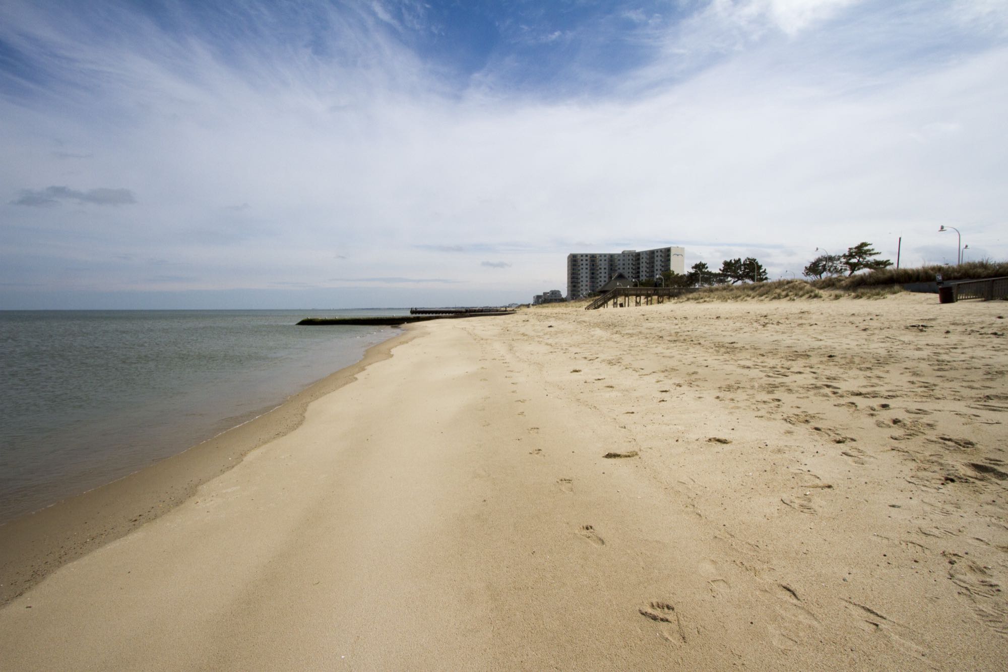
Photo Patrick Bloodgood / U.S. Army Corps of Engineers, Norfolk District, Public domain
ShorelineBeachWilloughby Spit shoreline
Narrow Bay-front spit near major structure — walkable shoreline with surprising depth close to the beach.
4 speciesFamily-friendly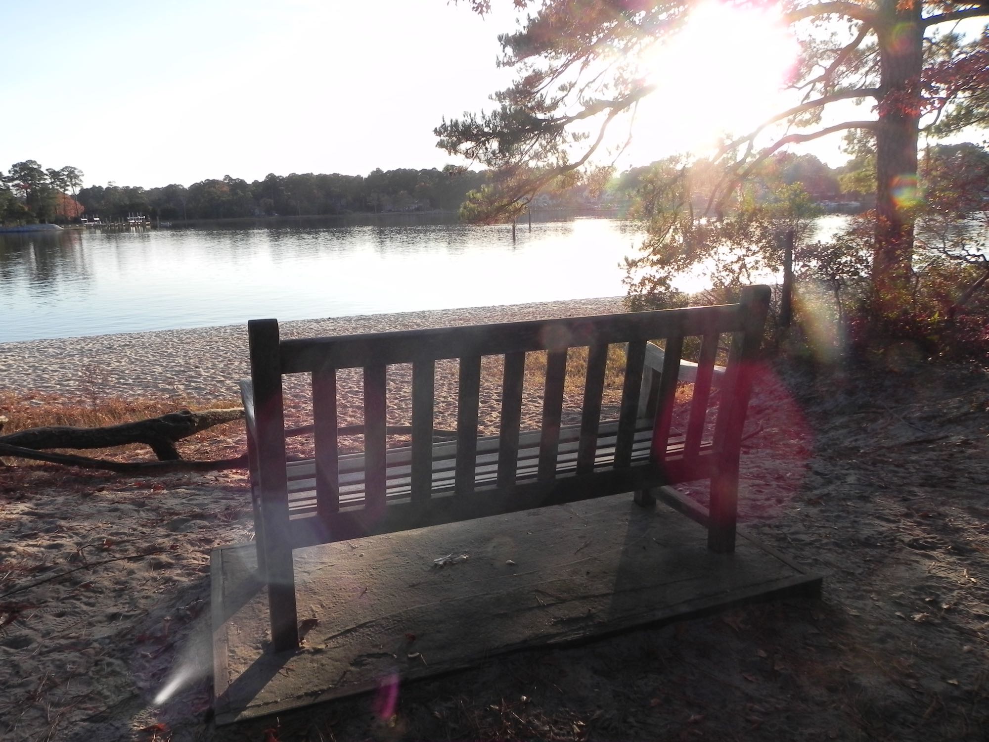
Photo Virginia State Parks staff, CC BY 2.0
ShorelineKayak launchFirst Landing — Broad Bay
Grass flats inside the bay — good early-morning kayak water for trout and small drum.
1 speciesAccessible features


