Elizabeth River — Downtown Norfolk
Norfolk, VA · Brackish
Approximate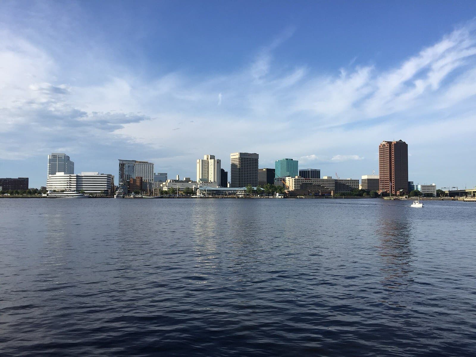
Urban stripers around the piers and bridge pilings, best on the spring and fall runs.
- Access
- Bank / Shore, Kayak, Boat Ramp
- Fishing setting
- Tidal River & Creek
- Season
- Spring, Fall
- Beginner suitability
- Some Experience Helpful
- Accessibility
- Paved waterfront paths along the Elizabeth River Trail.
- Safety
- Active commercial and Navy vessel traffic — stay well clear of the channel.
- Common species
- Striped Bass, Croaker
- Parking
- Metered/garage parking downtown; free street parking in some areas evenings.
A fish-consumption advisory covers this water body.
Virginia Dept. of Health limits how often certain species from this water should be eaten. Check the species page for the species you catch here, or see the official advisory for the specifics.
A real place or fact confirmed via an official source, but a specific detail (often exact coordinates) is an estimate, not something that source states outright.
Confirmed as a real waterfront trail along the Elizabeth River in downtown Norfolk. Exact coordinates are an estimate; the fishing-specific details reflect general regional knowledge, not this source directly.
Found outdated information or a broken source? Email Empower AI Labs with the page URL and the correction you recommend.