Know the water before you wet a line.
Fishing locations, seasonal species, bait & tackle shops, and charters across Hampton Roads and nearby Virginia waters — filterable by water type, access, season, and target species. Everything here is free to browse.
Charted Waters is currently in public beta. Access details, regulations, and seasonal conditions can change — confirm current information with the relevant property manager or government agency before traveling, fishing, hunting, or harvesting.
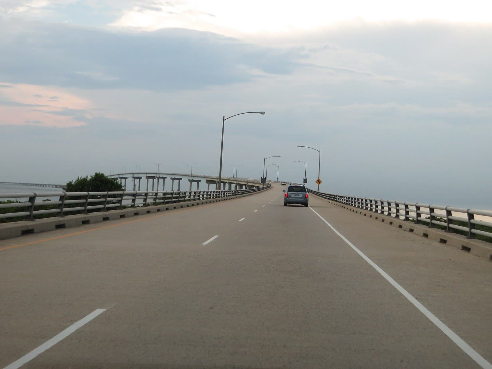
Featured fishing locations
View all 20 locations →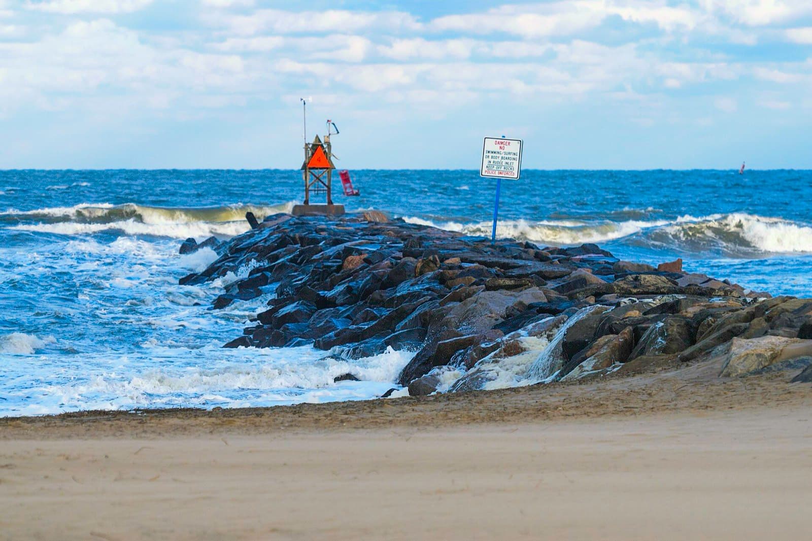
Jetty and inlet current — a reliable stop for flounder and trout on the outgoing tide.
Approximate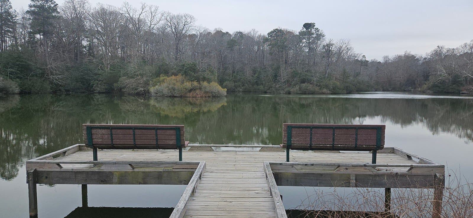
Marsh-lined shoreline with easy kayak launch and steady summer bottom fishing.
ApproximateCypress-lined blackwater — classic pickerel and bass water, quiet paddle in.
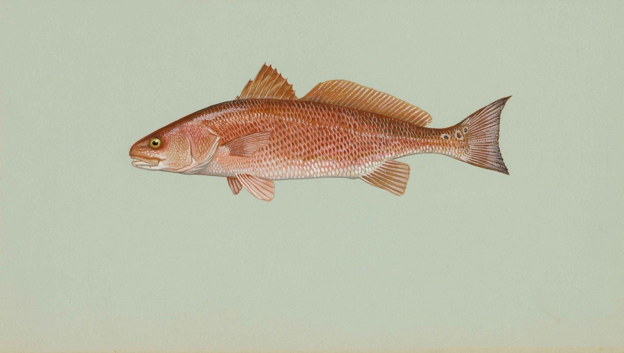
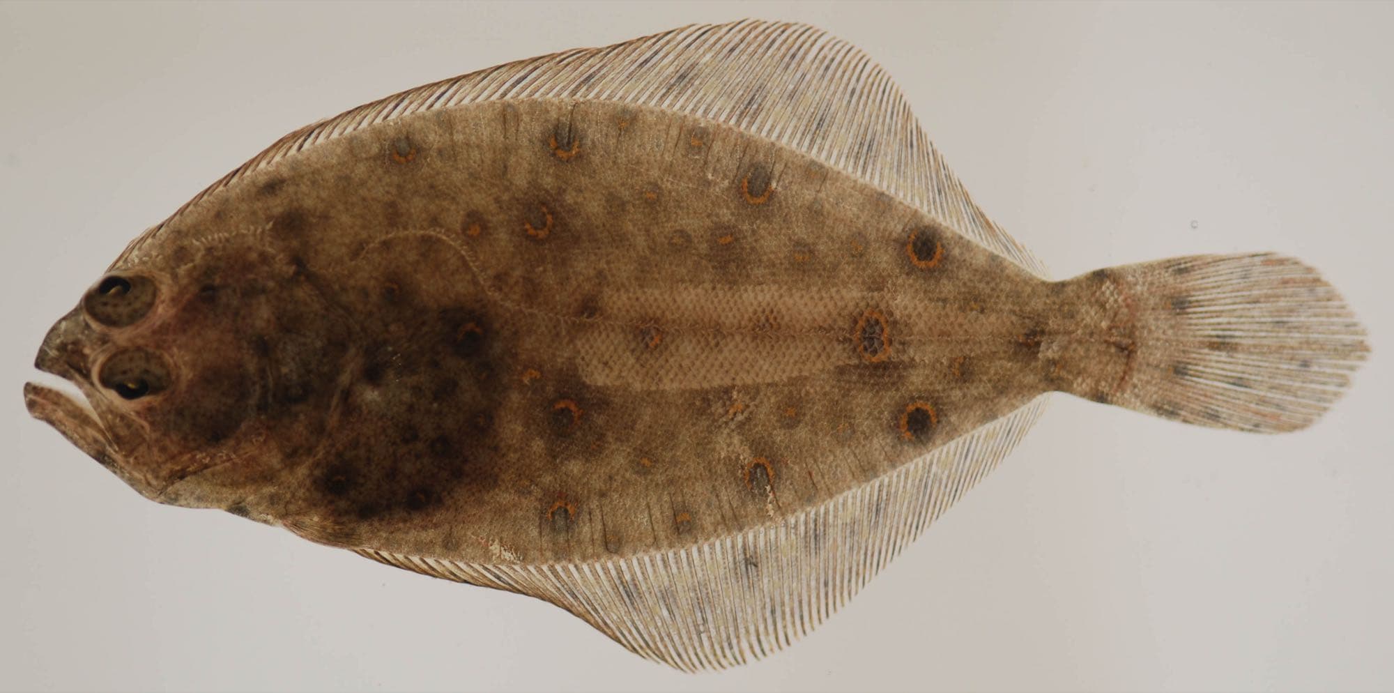
ApproximateSeasonal species
Visit the species guide →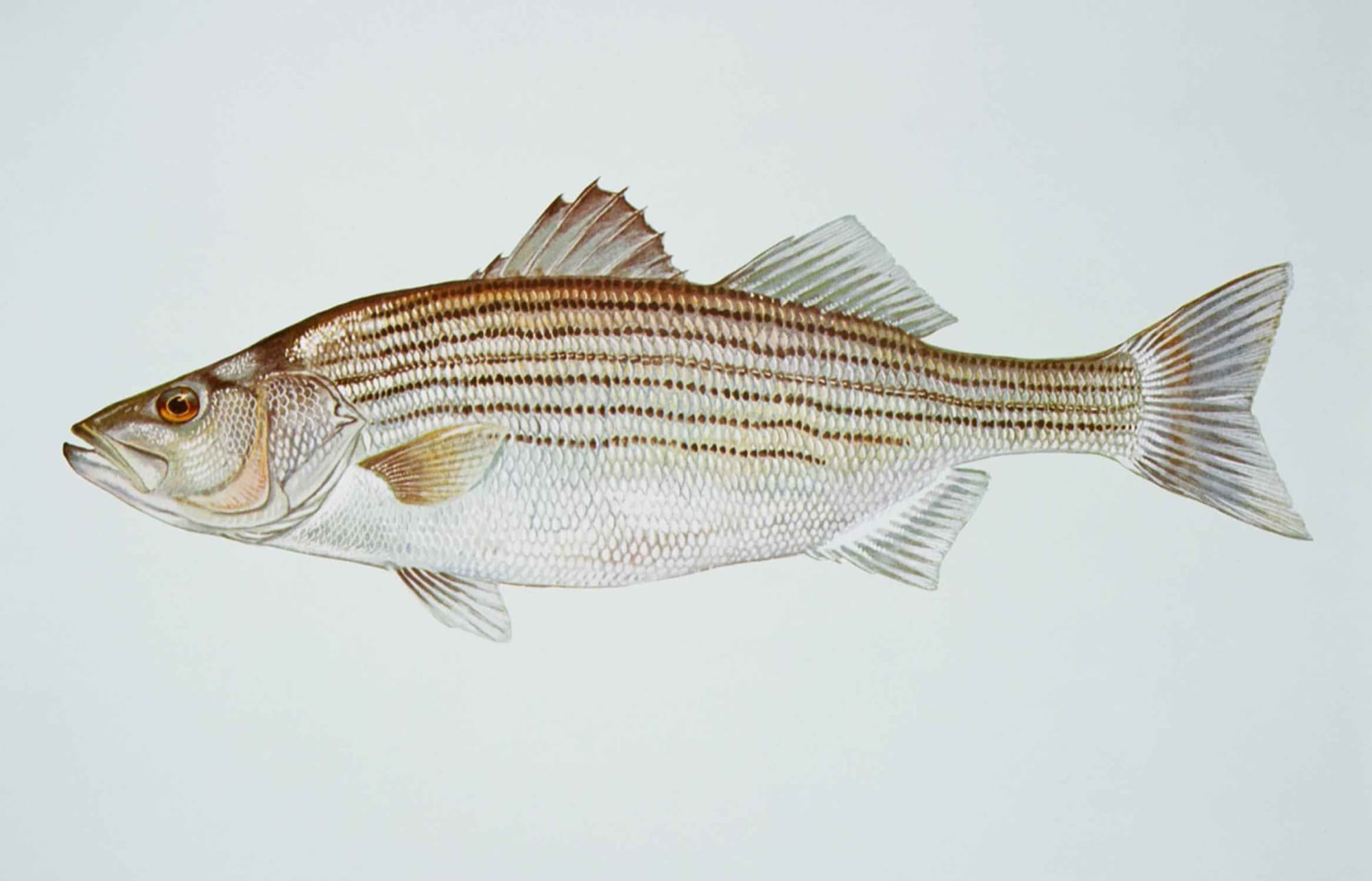
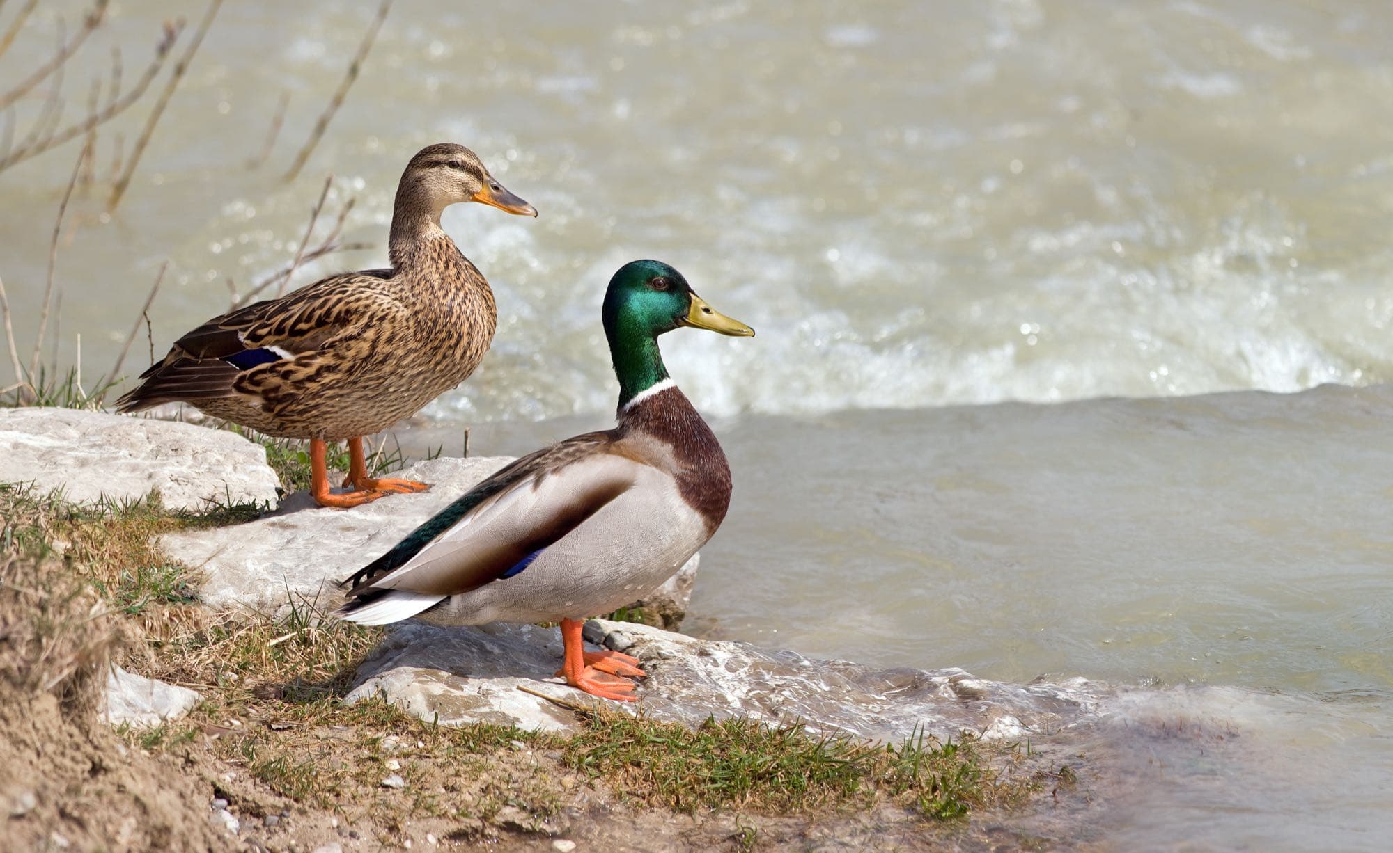
Hampton Roads Waterfowl Guide
A separate, educational guide to waterfowl hunting in and around Hampton Roads — species identification, public hunting areas, current seasons and licensing, safety, and gear. It has its own look and its own rules, distinct from the fishing content on this page.
42 species · 5 public hunting areas researched · licensing & regulations sourced to DWR and USFWS
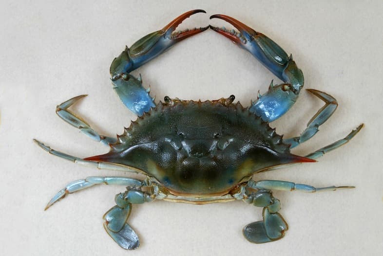
Hampton Roads Coastal Harvest Guide
A separate, educational guide to recreational crabbing and shellfishing in and around Hampton Roads — species identification, regulations, health and safety, and lawful access. It has its own look and its own rules, distinct from the fishing content on this page.
24 coastal species · 4 water bodies covered · regulations sourced to VMRC and VDH
Local culture & heritage
Read all 7 stories →Hampton Roads has been a fishing and maritime community for over 400 years — a few short, sourced stories behind the water.
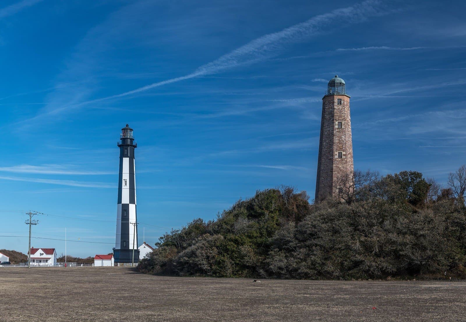
Before the Jamestown colonists settled the James River, they made their first Virginia landfall at Cape Henry on April 26, 1607 — spending four days ashore, naming the cape, and raising a wooden cross before continuing upriver. A granite cross erected in 1935 marks the spot today at Cape Henry Memorial, inside Colonial National Historical Park, a short walk from the fishing grounds at First Landing State Park.
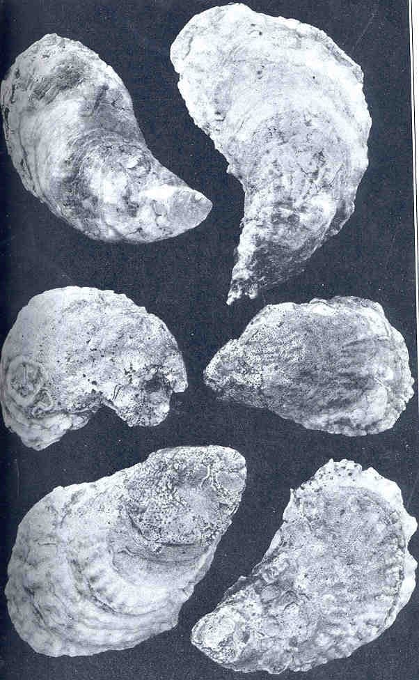
Lynnhaven River oysters were once the gold standard of the American raw bar — served to presidents and European royalty through the 1800s, prized for the distinct brine where the Chesapeake meets the Atlantic. President William Howard Taft reportedly ate more than ten dozen on a single 1909 visit, and the New York businessman "Diamond Jim" Brady sought them out specifically. Post-Civil War commercial dredging shipped millions of bushels to distant urban markets annually — the same boom that, combined with later pollution and overharvesting, collapsed the population to about 1% of historic levels by 1990; the river was closed to shellfish harvesting in 2006. A bacteria-reduction plan and a no-discharge zone for boaters have since reopened roughly 42% of the river to harvest, and small oyster farms are working the Lynnhaven again.
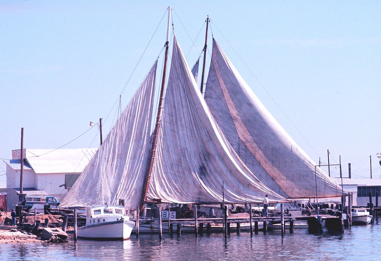
The Chesapeake's oyster and crab fisheries built a way of life that still shapes towns up and down the Bay, Hampton Roads included. The skipjack — a shallow-draft sailing dredge boat — is the emblem of that era: Maryland made it the state boat in 1985, and only about 35 survive today, mostly for education and heritage racing rather than commercial dredging. Virginia's side of the Bay shares the same tonging, potting, and working-waterfront tradition that skipjacks represent further up the Chesapeake.
Check current conditions
Live links to official sources — not readings stored on this site. Wind, tides, and water conditions change by the hour; check them fresh before you head out.