Rudee Inlet
Virginia Beach, VA · Salt
Approximate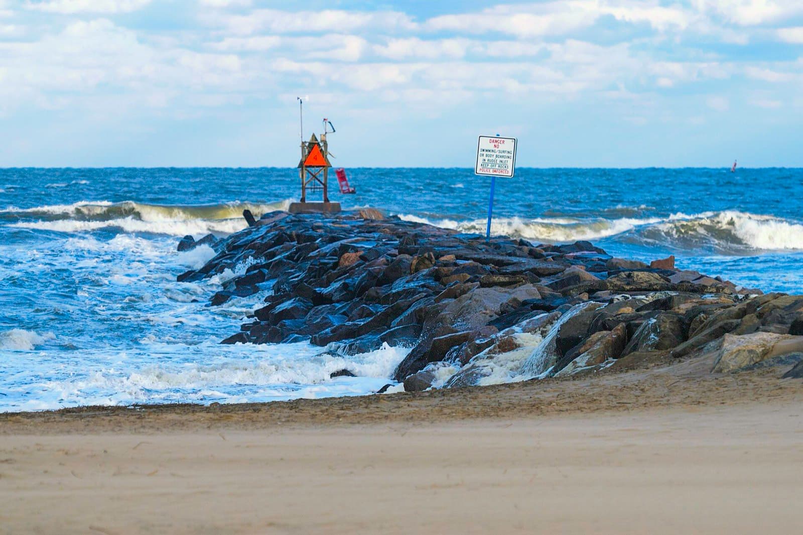
Jetty and inlet current — a reliable stop for flounder and trout on the outgoing tide.
- Access
- Bank / Shore, Boat Ramp
- Fishing setting
- Shore, Surf & Pier, Inshore
- Season
- Spring, Summer, Fall
- Beginner suitability
- Some Experience Helpful
- Accessibility
- Paved walkway along the jetty; uneven rock at the tip.
- Safety
- Strong inlet current on the outgoing tide, plus boat traffic in the channel.
- Common species
- Speckled Trout, Flounder, Red Drum
- Parking
- Metered lots near the fishing pier and jetty.
- Fees / permits
- Metered parking.
Approximate
A real place or fact confirmed via an official source, but a specific detail (often exact coordinates) is an estimate, not something that source states outright.
Confirmed as a real, well-known Virginia Beach inlet with an active marina/charter community. Exact coordinates are an estimate; the bank-fishing/jetty details reflect general regional knowledge, not this tourism source specifically.
Loading chart…
36.8258°N, 75.9736°W
Approximate coordinates — see status badge above. Loading this map contacts OpenStreetMap directly from your browser — see what that means.
Found outdated information or a broken source? Email Empower AI Labs with the page URL and the correction you recommend.