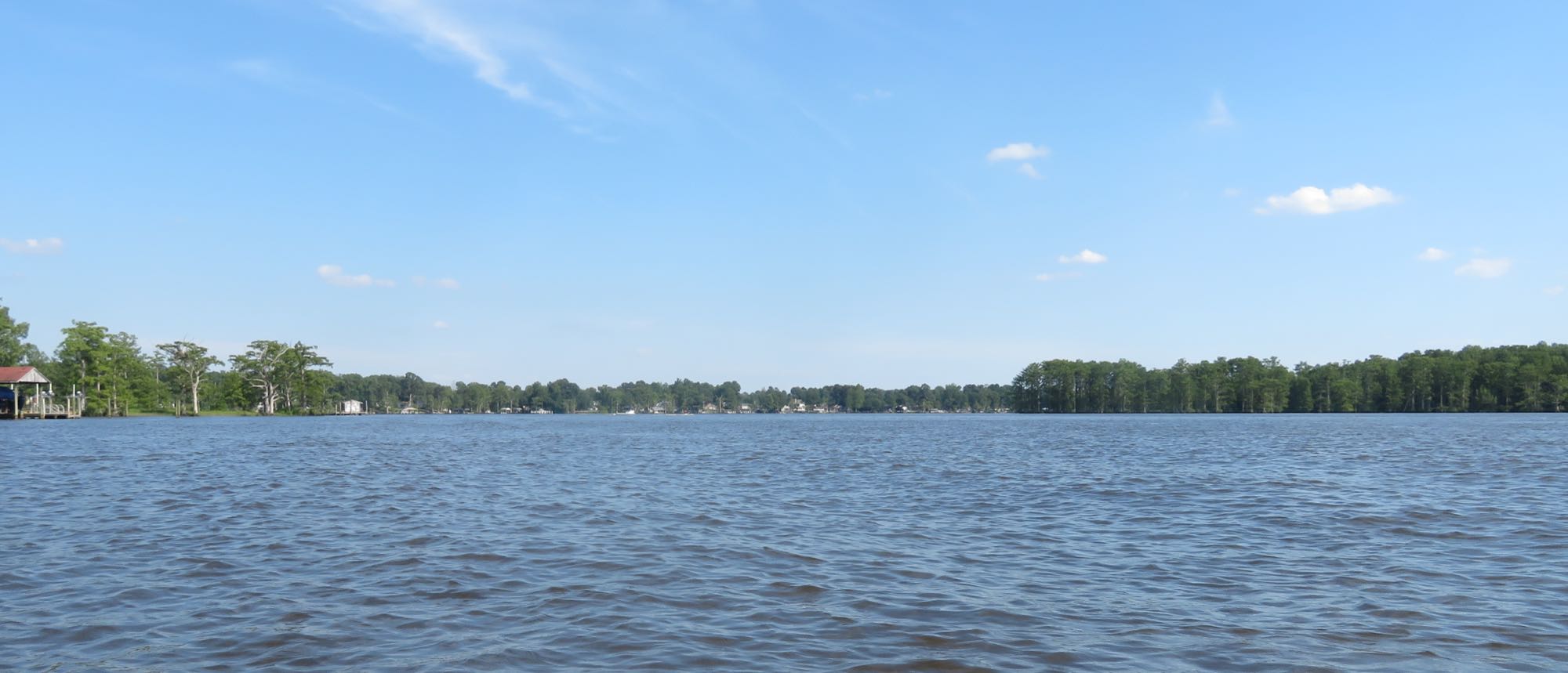
The tidal Chickahominy River, looking downstream near Diascund Creek.
Photo: David R. Bains — CC BY-SA 4.0 — verified 2026-08-24
Representative photo of the general area — not a documentary photo of this exact spot.
James City County
Chickahominy riverfront access
- Chickahominy River
- Shoreline
Tidal freshwater river with ramps, wide flats, and cypress shoreline — a strong bridge between fresh and brackish fishing.
- Parking
- paid
- Restrooms
- Yes
- Fee or permit
- Likely
- Night access
- false
Overview
Tidal freshwater means current direction changes through the day. Bass, catfish, and seasonal migratory fish all use the same creek mouths and drop-offs.
Getting there
County park with ramp and shoreline access; day-use fees typically apply. Confirm hours and fees before traveling.
Enter through the park; pay the posted day-use fee and follow ramp etiquette.
Verify current access, hours, fees, closures, and regulations with official sources before you go.
Parking & amenities
- Restrooms
- Paved parking
- Boat ramp
- Hand launch
- Picnic areas
Paved parking and paths; some accessible shoreline near the main day-use area.
Reading the water
Tide stage for this kind of water
Moving water at bends and creek mouths
From: Reading tides without overthinking themExposure
Sheltered river, though the wide sections build chop in strong wind.
Wind against tide, and when to turn aroundToday here
The full instrument and the week ahead- Acquiring NOAA tide predictions
- Requesting the NWS hourly forecast
- Computing sunrise, sunset, and civil twilight
Safety considerations
Noted for this spot
- Tidal current in a freshwater river surprises new paddlers
- Stumps and deadfall near shorelines
- Summer storms develop rapidly
General to shoreline and boat ramp and kayak launch and park access
- Riprap and oyster shell are sharp, slick, and uneven; wear footwear with grip and keep hands out of the shell. Casting safely
- Boat and ship wake arrives without warning on the rivers and the Bay front — stand back from the edge when traffic passes. Kayak and boating safety basics
- Required safety equipment depends on vessel type and length; confirm with the U.S. Coast Guard, file a float plan, and check the marine forecast. Kayak and boating safety basics
- Wind against tide stacks up short, steep chop in the channels and at the inlets — far worse than the wind number alone suggests. Weather awareness for coastal anglers
- Wear the life jacket from launch to landing; most fatal incidents involve one that was aboard but not worn. Kayak and boating safety basics
- Local water is cold enough to cause immediate breathing and grip loss for much of the year — dress for the water temperature. Kayak and boating safety basics
- Wind across open marsh and a falling tide can turn the paddle back into hard work; plan the return before you launch. Weather awareness for coastal anglers
- Park gates close at posted hours and the rules on shoreline fishing vary by park — confirm both before an evening trip. License, regulations, and trip planning
Species documented here
All species in James City County


Other water nearby
Similar spots in this part of the coast
- No verified photo yet36.57° N 76.28° WShorelineKayak launch
Northwest River Park
Cypress-lined blackwater — classic pickerel and bass water, quiet paddle in.
2 speciesFamily-friendlyAccessible features - No verified photo yet36.75° N 76.63° WShorelineBoat ramp
Suffolk reservoir shoreline
Cypress-lined municipal reservoir water — quiet freshwater fishing with permit requirements and posted rules.
2 speciesFamily-friendly 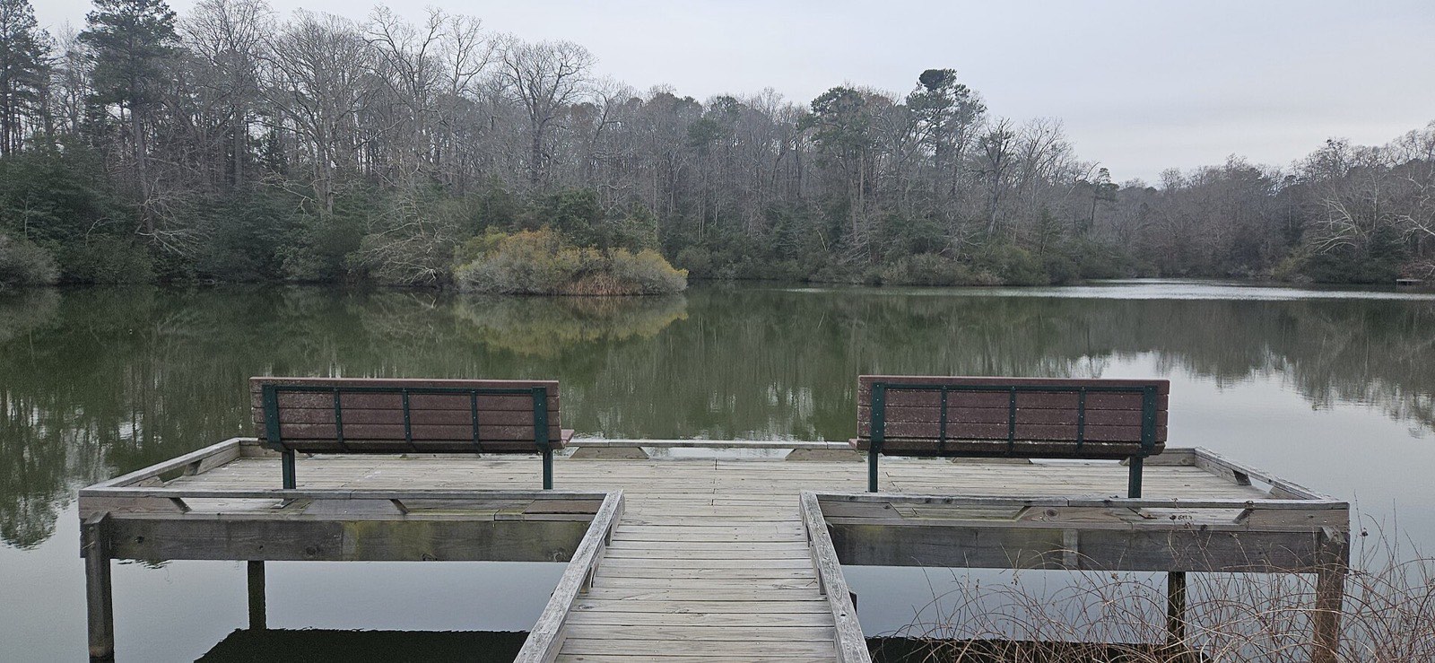
Photo OmegaFallon, CC BY 4.0
ShorelineKayak launchYork River State Park
Marsh-lined shoreline with easy kayak launch and steady summer bottom fishing.
3 speciesFamily-friendlyAccessible features
