James River (Lower / Hampton Roads Section)
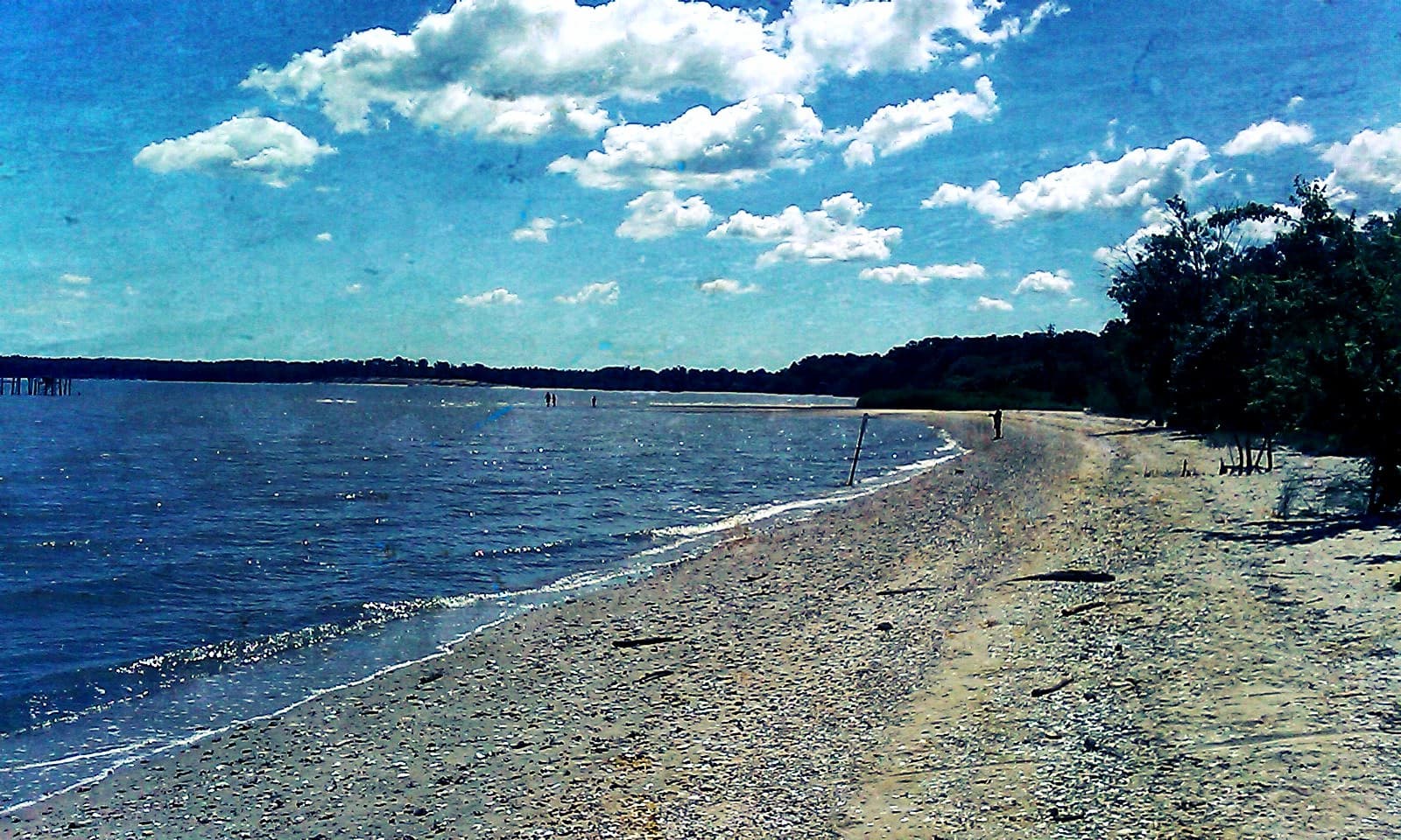
Photo courtesy of Virginia State Parks staff, CC BY 2.0, via Wikimedia Commons. (opens in a new tab)
Drawn from a named source but not independently confirmed. Double-check before relying on it.
The James River seed area's own extended season is directly referenced in VMRC's own public-oyster-season materials (already cited in seasons.ts); the broader mixed-ground characterization is a general, honest orientation, not a boundary-by-boundary confirmation — verify current status directly via VMRC's Bay Map before harvesting.
- City / county
- Newport News / Isle of Wight / Surry
- Public access
- Publicly accessible (shoreline/water) — separate from harvest authorization
Habitat & species context
A historically significant oyster-producing system, including a real public oyster seed area referenced directly in VMRC's own public oyster season materials (this guide's own Oyster & Clam Guide and regulation records cite the James River seed area's own extended hand/shaft-tong season). The lower James also carries real public boat-ramp access (including at Hog Island WMA, already covered on the waterfowl side of this site) and a mix of public ground and private leases further downriver.
This guide does not display live shellfish health-closure status. Health classifications (approved / conditionally approved / restricted / prohibited) can change quickly — after rainfall, after a monitoring result, or without public notice in an emergency — and this project has no way to keep a cached status current or to guarantee it is accurate at the moment you read it.
Before harvesting anywhere, check VDH's own current interactive shellfish harvesting area map → directly. If you can't confirm current status with confidence, treat the area as closed and do not harvest there.
Last reviewed 2026-08-10.
This page does not certify current harvest authorization, lease status, or health status for any specific spot within this area. Confirm directly via VMRC's and VDH's own official maps before harvesting.