Elizabeth River
Drawn from a named source but not independently confirmed. Double-check before relying on it.
Included deliberately as this guide's own concrete 'heavily public, heavily closed' proof case, mirroring the waterfowl guide's own Back Bay NWR precedent — general industrialization/pollution history is well-documented and already partly reflected in this project's own advisories.ts blue-crab PCB/dioxin record for the Southern Branch; this project did not independently confirm current VDH condemnation boundaries for the entire river via direct map inspection, so 'harvestAuthorizationStatus' here reflects a strong general characterization, not a boundary-by-boundary confirmation — always verify the current map directly.
- City / county
- Norfolk / Portsmouth / Chesapeake
- Public access
- Publicly accessible (shoreline/water) — separate from harvest authorization
Habitat & species context
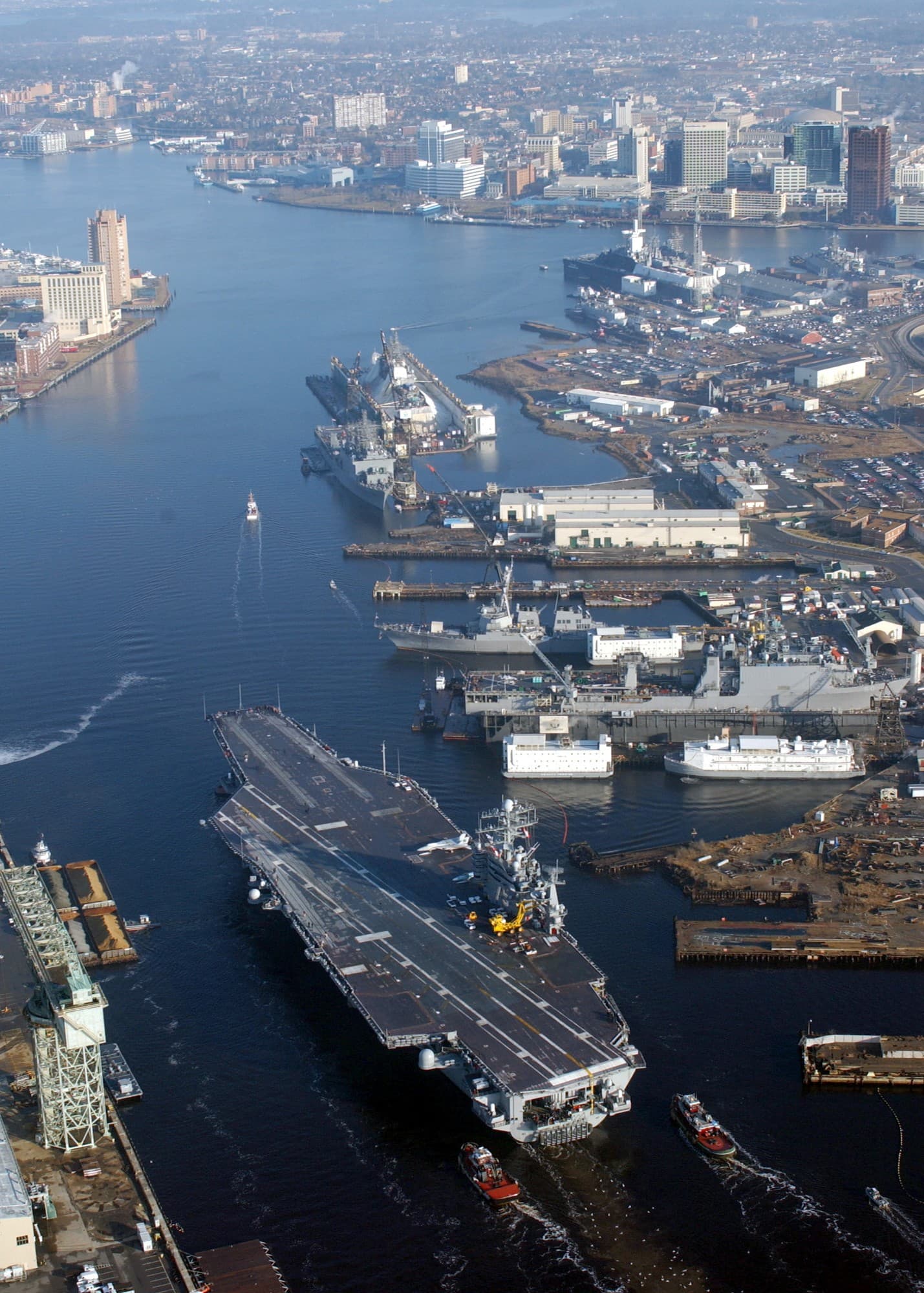
One of the most industrialized and historically polluted tributaries in the Chesapeake Bay system, running through Norfolk, Portsmouth, and Chesapeake — this project's own existing fish-consumption-advisory research (see advisories.ts) already documents a real PCB/dioxin blue-crab advisory specific to the Southern Branch. Shellfish harvest here is a real, concrete example of a heavily public-access, heavily condemned water body — public access to the shoreline is not remotely the same claim as approved shellfish harvest.
Important notes
- This project did not find evidence of open, approved shellfish harvest area in the urbanized Elizabeth River — treat any specific claim otherwise with real skepticism and verify directly via VDH's own map before assuming any part is open.
This guide does not display live shellfish health-closure status. Health classifications (approved / conditionally approved / restricted / prohibited) can change quickly — after rainfall, after a monitoring result, or without public notice in an emergency — and this project has no way to keep a cached status current or to guarantee it is accurate at the moment you read it.
Before harvesting anywhere, check VDH's own current interactive shellfish harvesting area map → directly. If you can't confirm current status with confidence, treat the area as closed and do not harvest there.
Last reviewed 2026-08-10.
This page does not certify current harvest authorization, lease status, or health status for any specific spot within this area. Confirm directly via VMRC's and VDH's own official maps before harvesting.