Nansemond National Wildlife Refuge
Confirmed against an official or primary source as of the date shown.
Included deliberately as a second, differently-shaped 'don't infer permission' example from Back Bay's: here the refuge is closed but immediately adjacent public water is not, which is a genuinely easy real-world boundary mistake to make. Directly confirmed via a live WebFetch of the refuge's own hunting page. This is Suffolk's first seeded waterfowl-hunting-adjacent area, closing a real municipality gap. Excluded from huntableAreas() by its accessStatus, matching Back Bay's own pattern.
- Managing authority
- Nansemond National Wildlife Refuge (USFWS)
- City / county
- Suffolk
- Location precision
- A specific named place, as published by the source below — not a precise coordinate.
- Boat access only
- No — some or all of the area is reachable without a boat
Habitat & species context
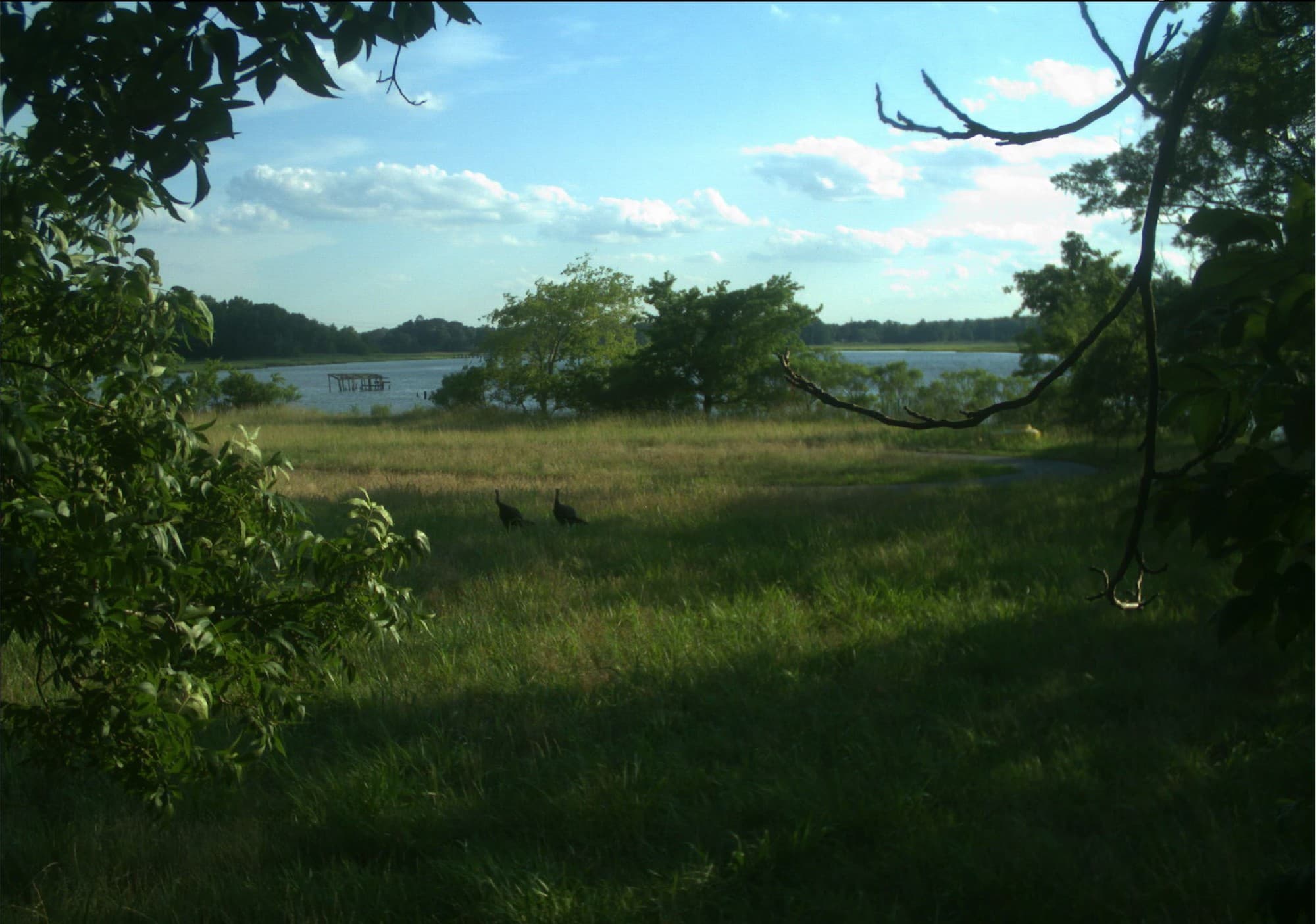
A small refuge (about 858 acres) of tidal marsh and bottomland forest along the Nansemond River, a tributary of the James River, in Suffolk. The refuge itself has no public hunting program; the adjacent Nansemond River, a public waterway outside the refuge boundary, does see waterfowl hunting under ordinary public-water rules unrelated to any refuge authorization.
Major restrictions
- No waterfowl hunting is authorized anywhere on refuge land or refuge-managed water.
- The adjacent Nansemond River is public water outside the refuge boundary — hunting there follows ordinary statewide/federal public-water rules, not any refuge program, and boundary awareness is the hunter's own responsibility.
Last reviewed 2026-08-10.
Boundaries, permit systems, and closures can change. Confirm current rules directly at the managing authority's own page before hunting, and see Licensing & Regulations →